
 Whether you wake up every morning to see a long, narrow fjord through your window, pass a fragrant orange grove, or walk past towering skyscrapers on your way to school, it's always possible to make observations. From observations you can devise hypotheses, make comparisons and draw conclusions. It’s easy, not very time-consuming and instructive on many levels.
What is the EDU-ARCTIC MONITORING PROGRAM?
Our web-based Monitoring Program allows students and teachers the possibility to explore the changes taking place in the environment aorund them, to compare results with other schools across Europe and elsewhere, and become a significant part of a research network.
There's no need for special equipment - only eager, observant students with open minds and the will to do a little routine reporting. The monitoring tool enables students to observe nature around them, and to get a sense of what doing research is all about. It is also an important way to build a feeling of being part of larger common efforts to increase our understanding of our environment in a changing world.
Why is it important?
Even though scientists nowadays have access to data from radar, satellite images, and surface weather stations, technology cannot detect every instance of weather and phenological change. You can lend a hand to scientists by observing the world around you and reporting what you see. "Citizen science" observers help fill data gaps by reporting hail, strong wind, flooding, heavy snow, storms, and other weather events they see. Scientists need help from observers to report when and how storms and other hydro-meteorological and phenological phenomena are impacting their area.
Information that teachers and students collect in the EDU-ARCTIC monitoring program can be used in investigative studies and are a foundation of comprehensive climatological study. Observations taken at fixed locations at regular intervals, following a standardised recording format will give accurate data for comparison. Different regions of Europe have different phenological patterns depending on their latitudes, longitudes and altitudes. Even at the same location, the phenological pattern observed in the past may be quite different from what's ahppening in the present.
What are the benefits from the didactic point of view?
Accumulated information gathered by schools and polar research stations invovled in the project will be available for download from the web portal and available to all participants. These data can be used teaching a wide variety of subjects, including biology, chemistry, physics and mathematics classes. It can be combined and thus contribute to an increase in awareness and understanding of often complicated contexts.
How to start?
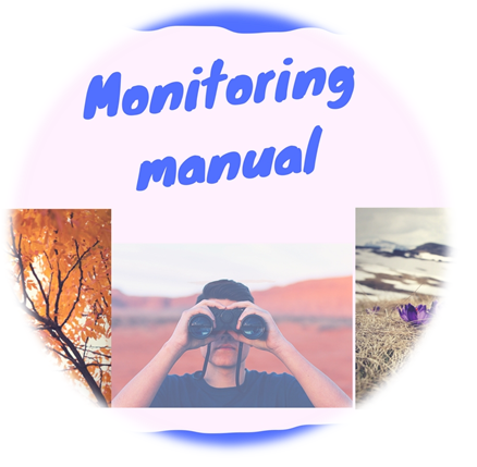
Check out our MANUAL FOR TEACHERS describing in detail all the rules, technical issues and all parameters to be observed, with illustrated filed guides included. You can register to the program by giving your school’s coordinates, and then all you have to do is input the data once a week. It only takes a few minutes!
Students will never look at their surroundings in the same way. They will become true observers. It’s a fun aand interactive activitty. Who knows - maybe it will be an introduction to a scientific career for some of the students?
 This project (EDU-ARCTIC) has received funding from the European Union’s Horizon 2020 research and innovation programme under grant agreement No 710240. The content of the website is the sole responsibility of the Consortium and it does not represent the opinion of the European Commission, and the Commission is not responsible for any use that might be made of information contained.